| PID | 630877 |
|---|---|
| Ühe kontaktpunkti elektroniline aadress | |
| Tootja aadress | GARMIN Corporation, Tänav: No.68 Zhangshu 2. teerist, Xizhi ringkond, Postiindeks: 221, Linn: Uus Taipe City 221, Riik: TAIVAN, R.O.C / GARMIN Würzburg GmbH, Tänav: Beethovenstraße 1 a+b, Postiindeks: 97080, Linn: Würzburg, Riik: Saksamaa |
| Tootja e-posti aadress | |
| Tootja nimi | GARMIN Corporation / GARMIN Würzburg GmbH |
| Vastutustundlik isik Euroopa Liidus | GARMIN Würzburg GmbH, tänav: Beethovenstraße 1 a+b, postindeks: 97080, linn: Würzburg, riik: Saksamaa |
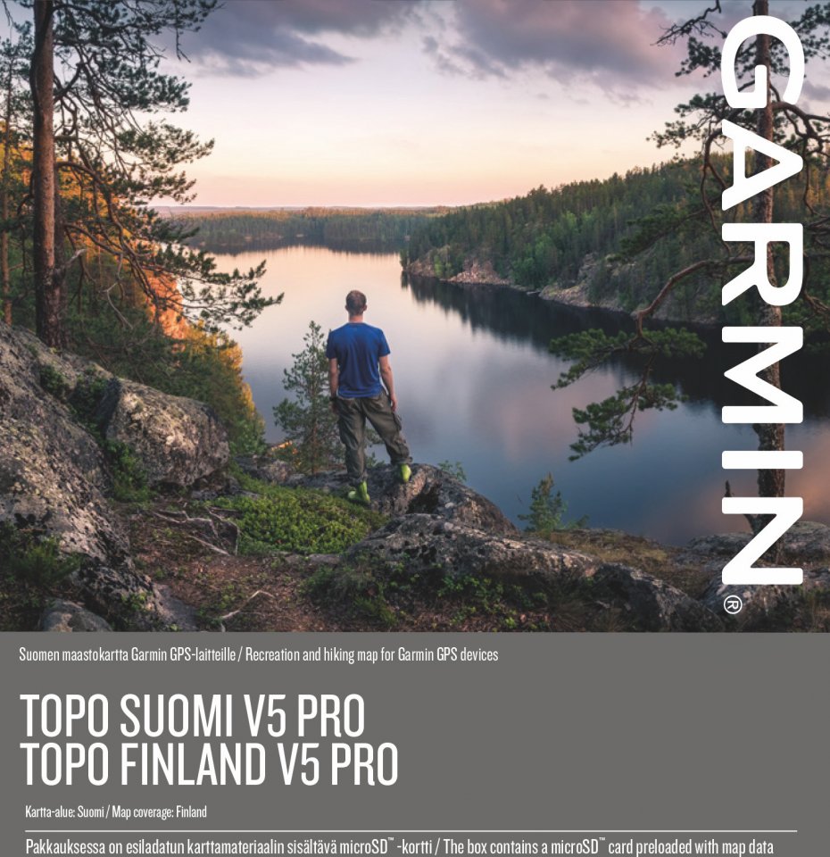
Avasta Soome looduse ilu selle kvaliteetse topograafilise kaardi abil, mis sisaldab skaalat 1:10 000–1:5 000. Sa saad otsida huvipunkte soome, rootsi ja inglise keeles, tagades, et leiad hõlpsasti, mida otsid.
Põhilised omadused
BaseCamp toetab ¹ActiveRouting funktsioone Windows®/Mac® arvutites ja järgmistes seadmetes: Montana®, Monterra™, Edge® 810/820/1000/Explore 820/1000, GPSMAP® 62/64 ja Oregon® 6xx/x50/7xx.