| Country of Origin | United States |
|---|---|
| PID | 691672 |
| Product depth (mm) | 30 |
| Product height (mm) | 152 |
| Product weight (g) | 203 |
| Product width (mm) | 66 |
| Display size (inches) | 2,6 |
| Battery type | AA |
| Electronic address of single contact point | |
| Manufacturer address | "GARMIN Corporation, Street: No.68 Zhangshu 2nd Rd, Xizhi Dist, Postcode:221, City: New Taipei City 221, Country: TAIWAN, R.O.C / GARMIN Würzburg GmbH, Street: Beethovenstraße 1 a+b, Postcode: 97080, City: Würzburg, Country:Germany " |
| Manufacturer's email address | |
| Manufacturer name | GARMIN Corporation / GARMIN Würzburg GmbH |
| EU Responsible Person | GARMIN Würzburg GmbH, Street: Beethovenstraße 1 a+b, Postcode: 97080, City: Würzburg, Country:Germany |
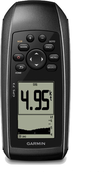
The easy-to-use handheld device is an excellent navigation solution for boats, sailboats, or other small vessels without a chartplotter. It is also a great backup navigation solution for all boats in case of emergencies. Its highly sensitive GPS function marks and stores 1,000 waypoints and 100 tracks so you can navigate to them. The floating device is convenient on land and at sea. Includes SailAssist, which features a virtual starting line, bow line, countdown timers, and tacking assistant.
Quickly acquires satellites
The highly sensitive GPS receiver quickly finds GPS satellite signals and tracks your location even in challenging conditions, such as deep canyons and dense forests.
Mark important waypoints
You can mark and store up to 1,000 waypoints and add 100 tracks to help you return to, for example, the best fishing spots later.
SailAssist
SailAssist enhances sailing with a bow line and tacking assistant. The tacking assistant monitors whether the boat is moving at a falling or rising angle relative to the optimal tacking angle and indicates when to tack. For competitive sailors, there is a virtual starting line and countdown timer to help you cross the start line at the right time.
Save important data
The GPS 73 is NMEA 0183 compatible. You can easily transfer data to the device by connecting it to a computer via USB. If you enjoy boating, hunting, or fishing, you can utilize built-in celestial data such as sunrise and sunset times, hunting and fishing calendars, estimated time of arrival, and other calculations and boating information.
High-contrast display
The GPS 73 device features an intuitive interface and easy-to-use backlit buttons. The high-contrast display is easy to read in all lighting conditions.
Product features:
Package includes:
The easy-to-use handheld device is an excellent navigation solution for boats, sailboats, or other small vessels without a chartplotter. It is also a great backup navigation solution for all boats in case of emergencies. Its highly sensitive GPS function marks and stores 1,000 waypoints and 100 tracks so you can navigate to them. The floating device is convenient on land and at sea. Includes SailAssist, which features a virtual starting line, bow line, countdown timers, and tacking assistant.
Quickly acquires satellites
The highly sensitive GPS receiver quickly finds GPS satellite signals and tracks your location even in challenging conditions, such as deep canyons and dense forests.
Mark important waypoints
You can mark and store up to 1,000 waypoints and add 100 tracks to help you return to, for example, the best fishing spots later.
SailAssist
SailAssist enhances sailing with a bow line and tacking assistant. The tacking assistant monitors whether the boat is moving at a falling or rising angle relative to the optimal tacking angle and indicates when to tack. For competitive sailors, there is a virtual starting line and countdown timer to help you cross the start line at the right time.
Save important data
The GPS 73 is NMEA 0183 compatible. You can easily transfer data to the device by connecting it to a computer via USB. If you enjoy boating, hunting, or fishing, you can utilize built-in celestial data such as sunrise and sunset times, hunting and fishing calendars, estimated time of arrival, and other calculations and boating information.
High-contrast display
The GPS 73 device features an intuitive interface and easy-to-use backlit buttons. The high-contrast display is easy to read in all lighting conditions.
Product features:
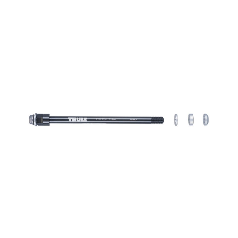
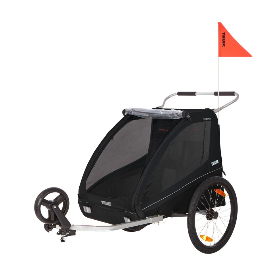
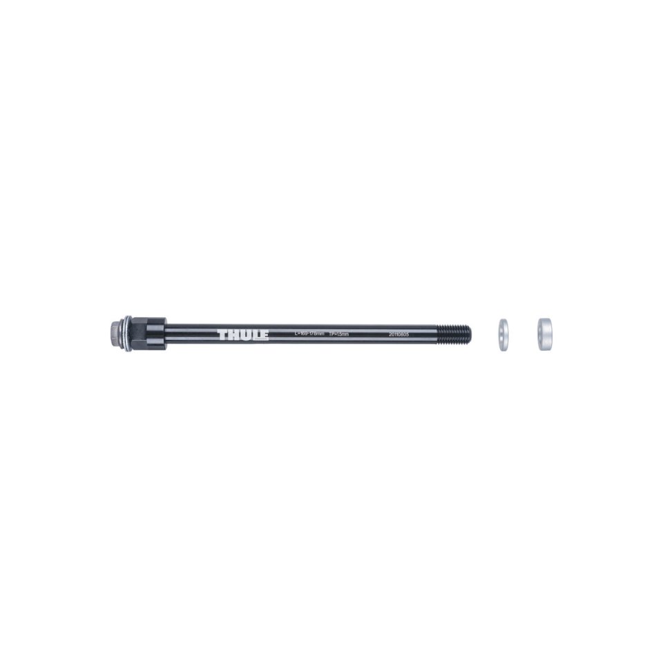
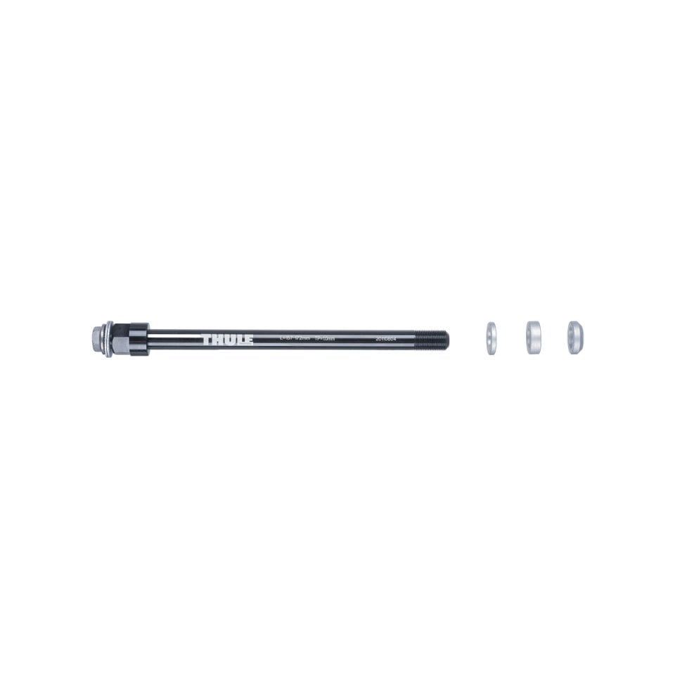
Package includes: